Project creator: Cheryl Cape (staff)
Collaborators: Tess Meagher, History and Political Science, Class of 2020
Project type: Mapping Project

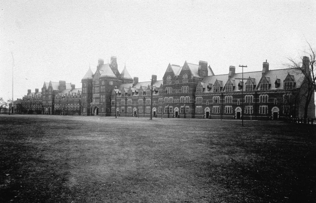
During the 2019-2020 academic year, Tess Meagher, class of 2020, and I worked on a story map showing the evolution of the Trinity College campus over time. The story map uses historic aerial photos from 1934 -1986, along with pop-ups about each of the campus buildings, to document growth and change of the campus from a birds-eye view. The story map uses the Esri ArcGIS Online Story Map Series template, along with a website hosted in domains.trincoll.edu to store images.
We encourage users to take the time to explore the story map to ‘see’ the campus as it existed years ago. Check out Boardman and Alumni Halls on any of the images before 1986, as we created image galleries of these buildings that no longer exist on campus. On one of the tabs you can swipe to compare the 1934 campus to the 1986 campus. There is also an extensive list of resources for anyone that is interested in additional research or information about Trinity’s campus.
A project like this is never really finished, so I am planning to add more building galleries and maps in the future. We are also hoping that this digital project can be incorporated into some sort of digital showcase for the 2023 bicentennial celebration.
Website: Explore the Hartford, Connecticut, campus of Trinity College by looking at aerial photographs collected at different points in time. Click on a tab to view different years, and while on a map, click on a building to see a building description and image. B: https://dsp.domains.trincoll.edu/campus-story-map
Rights statement: Attribution NonCommercial NoDerivatives CC BY-NC-ND 4.0


